Hale Technology
Golf Course Flyover Videos & VFX
At Hale Technology, I produced flyover videos of golf courses, capturing dynamic aerial perspectives to showcase course layouts and terrain. Some of these projects required custom visual effects to enhance the footage.
Aerial Mapping and Analytics
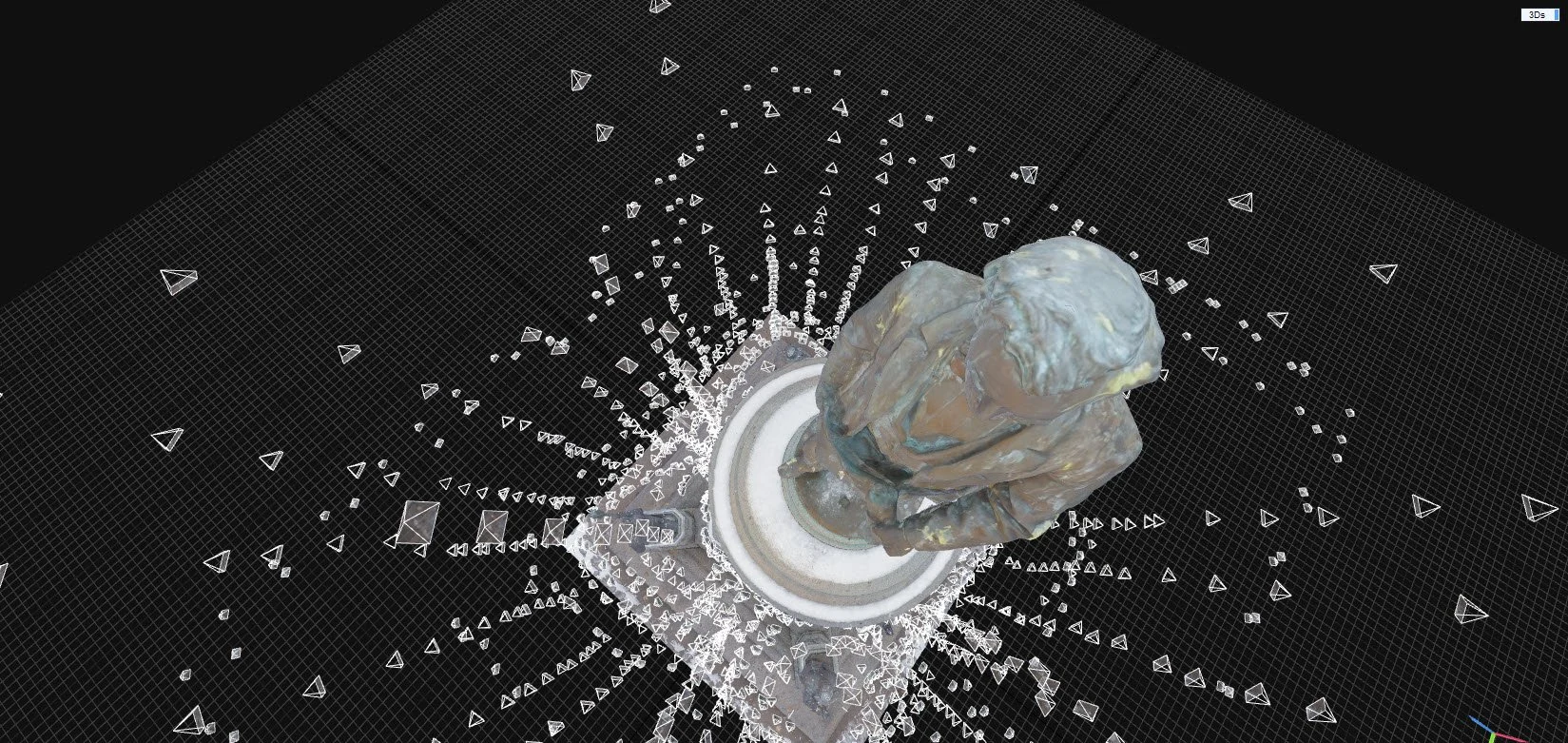
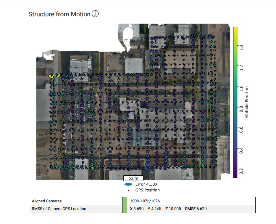
Using photogrammetry techniques, I planned and executed custom UAV flight patterns to capture detailed exterior imagery of buildings. For more complex projects, I combined aerial photography, ground-level imaging, and laser scanning data to achieve comprehensive, high-fidelity coverage.
This process creates a digital twin of real-world conditions. The resulting model can monitor construction site progress, scout crop health, detect irrigation issues, and support a wide range of other applications.
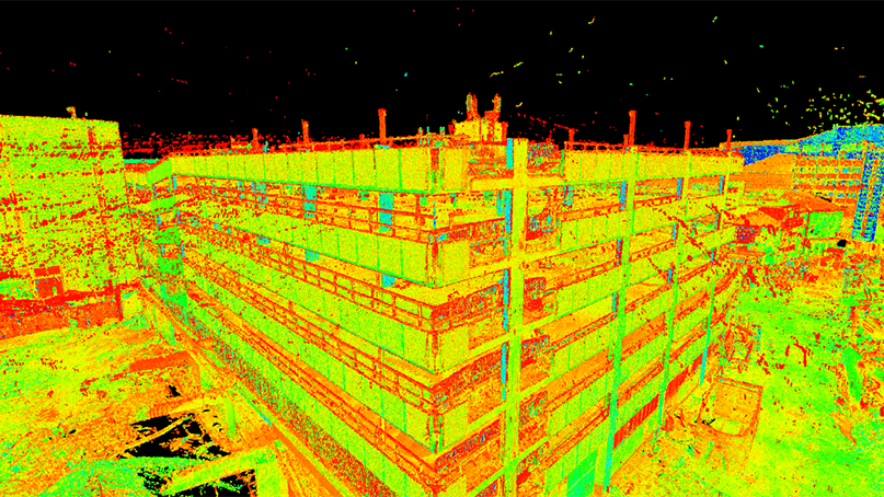
3D Laser Scanning (Project Lead)
As project lead for 3D scanning operations, I devised and delegated scanning routes for multistory buildings, ensuring systematic coverage across each level. This required careful planning of overlap between scan positions so that individual captures would align and tie together accurately during post-processing. Coordinating these routes across teams was essential to producing a seamless, fully integrated point cloud of complex building interiors.